June 9, 2006.
Enhanced Infrared Satellite GOES East.
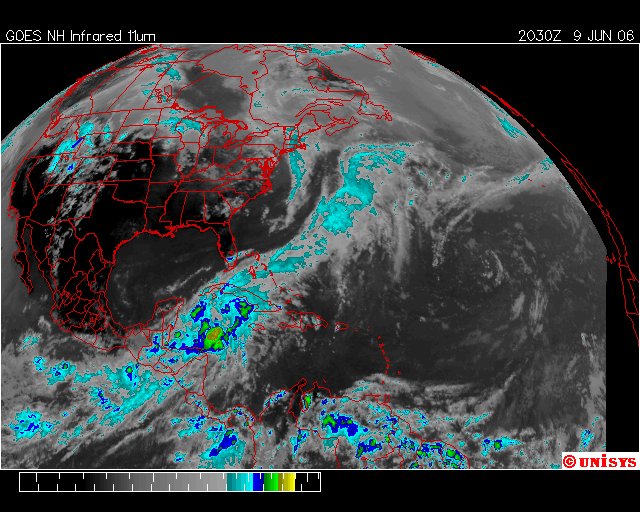
The Enhanced Infrared Satellite paints a very different picture than the Water Vapor Satellite below. However, traces of the Mid-Atlantic Tropospheric depression is noted here in a faint outline.
The increase in the Caribbean Sea is significant and very early in the season.
