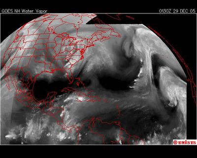
 December 29, 2005. 0130 z. Water Vapor Satellite GOES East.
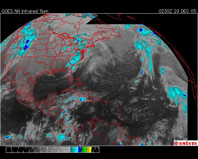
 December 29, 2005. 0230 z. Enhanced Infrared GOES East.
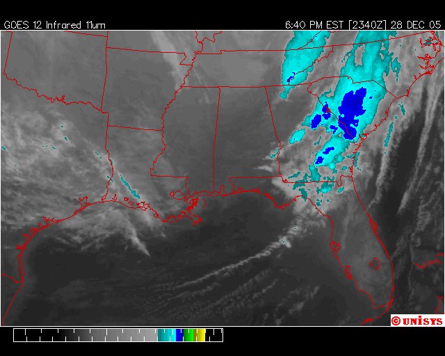
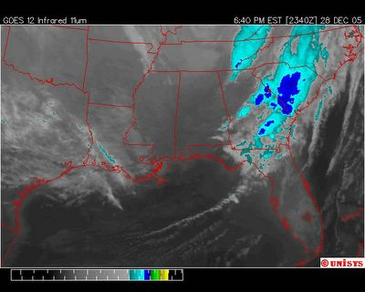 December 28, 2005. 0640 est. GOES East Infrared Satellite. Thunderstorms are rolling in over Wilmington. Holy Smokes. That thunder shook the house. The car alarms are going off.Tomorrow. Let's hope.
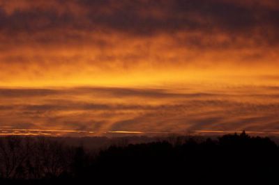 December 28, 2005. Sunrise at Colquitt, Georgia, USA. AT 959 PM EST NATIONAL WEATHER SERVICE DOPPLER RADAR INDICATED ASTRONG THUNDERSTORM CENTERED ALONG A LINE EXTENDING FROM 7 MILESNORTHEAST OF PERKINS TO 10 MILES SOUTHWEST OF THRIFT...OR ALONG ALINE EXTENDING FROM 12 MILES NORTHEAST OF MILLEN TO 12 MILES EAST OFSWAINSBORO...MOVING EAST AT 30 MPH. THIS STRONG THUNDERSTORM WILLAFFECT AREAS IN AND AROUND THRIFT...PERKINS...LAWTON...EMMALANE...BUTTS...MILLEN...FOUR POINTS...SCARBORO...PORTAL AND THOMASBOROTHROUGH 1045 PM EST.GUSTY WINDS OF 45 TO 55 MPH CAN BE EXPECTED.
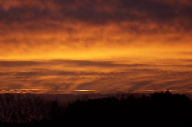
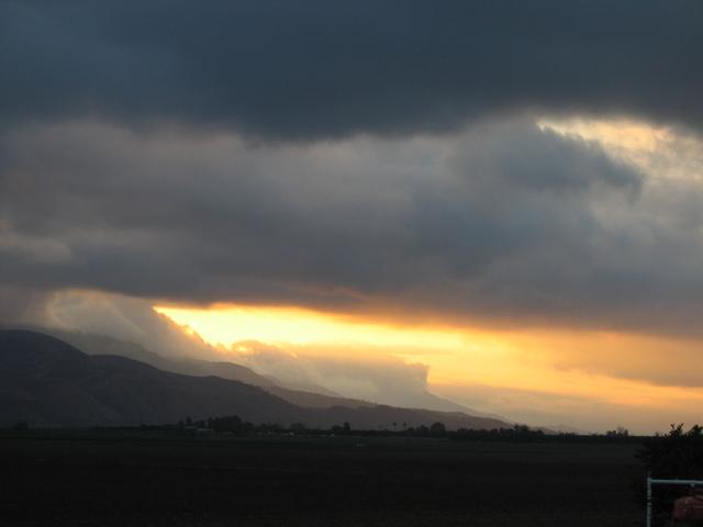
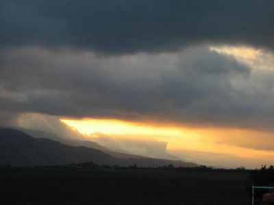 December 26, 2005. Sunset at Piru, California.
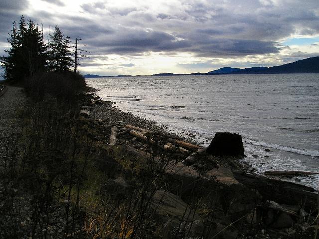
 December 21, 2005. Bellingham, Washington. Photographer states :: I've been persistently amazed at how low the sun is in the sky during the winter months at our latitude here in Bellingham, even though I've been up here for whole decade. A dimly-lit day at the beach was surprisingly warm though: it was about 60* but quite windy on the waterfront.
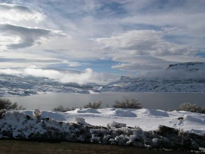 December 26, 2005. Montrose, Colorado. Photographer states :: Coming home to Montrose after spending Christmas in the Castle Rock, Colorado area where the temp was 60 degrees this morning. Going through Gunnison the temp. was 14 degrees at 2:00 P.M.