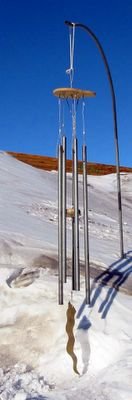
 The Antarctica Wind Chime.
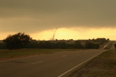 April 24, 2006. The El Reno, Oklahoma tornado.
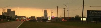 April 24, 2006.The Yukon, Okalahoma tornado.
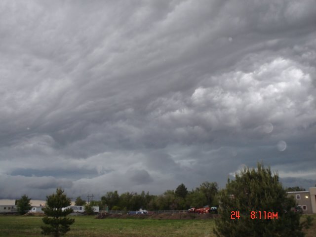
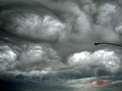 April 24, 2006. Wichita, Kansas
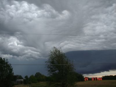 April 24, 2006. Wichita, Kansas.
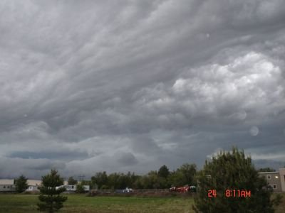 April 24, 2006. Wichita, Kansas
 April 24, 2006. Wichita, Kansas.Photographer states :: These came from the storm that hit on the morning of April 24th. The biggest hailstones were measured 1 3/4 in. or golfball size.
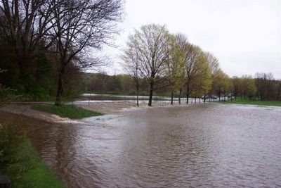 April 23, 2006. Woodbury, Connecticut Altitude approximately 450 feet above sea level. This area of the country is still seeing temperatures of 38 degrees Fahrenheit with spring arrival and it nearly is May.
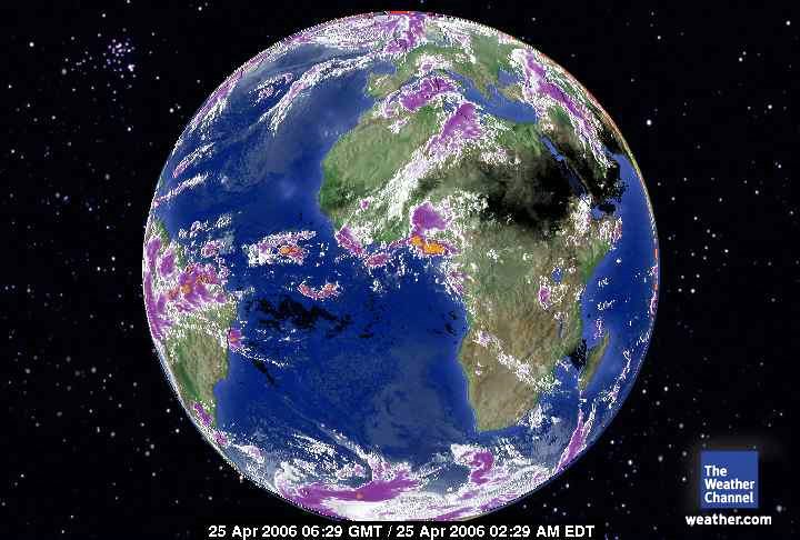
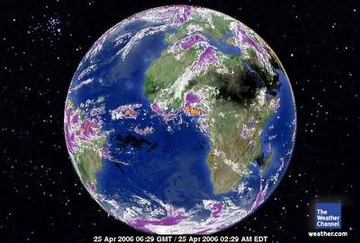 April 26, 2006. Europe - Africa Satellite.With advancing direct solar radiation north there is a 'layering' of heat storms now. Supercells. The land mass of Northern Africa provides a place for a vortex to operate in distributing tropospheric heat. It is troubling in the more western hemisphere as well. Northern Equatorial South America has been steadily building heat concentration. That interprets into higher potential for far warmer Gulf and Carribean waters. The Carribean is the place where trubulence will probably manifest over water first. It is a small body of water that has not really cooled much from last season.
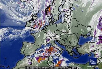 April 25, 2006. Europe's Satelllite
.