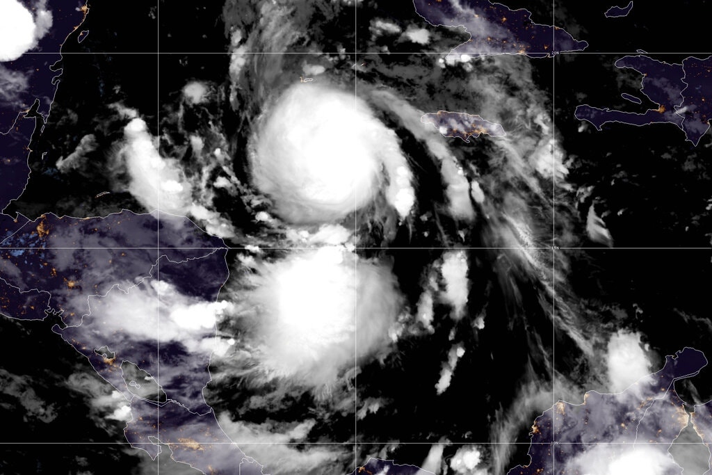
This is the latest image of Delta. It is currently straddling the Yucatan Peninsula between the Caribbean Sea and the Gulf of Mexico. That is what gives it the "dual eye" storm. Those two eyes will become one large storm once it hits the Gulf of Mexico.
There is no doubt this storm needs a wide berth. I kindly ask the Gulf States to reflect on recent rains and flooding. The people will need to MOVE AWAY from those flooded and coastal areas. There is more flooding in the interior of these states than ever before. The people are important and their awareness is not enough, they have to be told it is mandatory to evacuate.
Currently, Hurricane Delta has a central pressure of 954 millibars of pressure. Katrina's central pressure was 920 at landfall in 2005. Delta has a huge potential to cause a threat to life.
There is no "maybe" about this storm. It is coming and it is a very dangerous storm. The width of this storm will bring danger to most of the Gulf Coast. Do not just concentrate on the eye of this storm. It will have enough diameter to reach other areas causing significant flooding, winds, and danger.
...The devastation left in Katrina’s wake (click here) over southeast Louisiana and coastal Mississippi was immense. The storm surge ravaged coastal Mississippi, and several levee breaches occurred in and around New Orleans. The levee breaches and overtopping resulted in floodwaters of 15 to 20 feet covering about 80 percent of the city. The catastrophic damage and loss of life inflicted by this hurricane is staggering, with an estimated 1,353 direct fatalities1 and 275,000 homes damaged or destroyed....
The width of Katrina's landfalling damage covered the coast of two states. The eye is a very dangerous part of the storm, but, the peripheral bands and the rains that come with these storms are just as dangerous and IMMEDIATE.
Katrina was an August storm.
...Delta, (click here) which was just a tropical depression at 5 a.m. EDT Monday, has put on a rare feat of rapid intensification, increasing its winds by 70 mph (from 40 mph to 110 mph) in its first 24 hours since becoming a named storm at 8 a.m. EDT Monday. According to Dr. Phil Klotzbach, this is the most intensification in a 24-hour period for an October Atlantic named storm since Hurricane Wilma in 2005. According to Tomer Berg, Delta did the fastest intensification from a 35-mph tropical depression to a 130-mph category 4 hurricane in modern Atlantic records, accomplishing the feat in just 30 hours. The previous record was Keith in 2000 (42 hours)....