
10:30 ET
...30 years of record are used....(click here)
How is Congress going to fund this recovery? This is real time data.
February 26, 2018
By John Bacon, Thomas Novelty and Susan Miller
A new storm system (click here) forecast to form in the central U.S. threatened to bring additional weather misery to areas struggling to recover from a relentless series of weekend thunderstorms and tornadoes.
The new weather system will begin a three-day romp through the lower Mississippi and Tennessee Valleys sometime Tuesday, weather.com meteorologist Chris Dolce said.
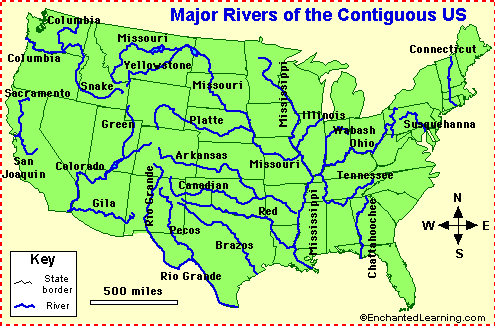 The map to the lower left are the major rivers of the USA. This does not show all the tributaries leading into the rivers. The real concern beyond the flooding is; if there is this much saturated land low long will it take for the rivers to recede?
"After a few dry days, rain will return to some of the waterlogged cities in those regions, exacerbating the flooding situation," Dolce said.
More than 250 river gauges reported levels above flood stage from the Great Lakes to Texas, Dolce said. The greatest issues in coming days will be in Arkansas, Tennessee, Kentucky, Mississippi, Alabama and Georgia on Wednesday into early Thursday....