This Blog is created to stress the importance of Peace as an environmental directive. “I never give them hell. I just tell the truth and they think it’s hell.” – Harry Truman
(I receive no compensation from any entry on this blog.)
Monday, March 13, 2006
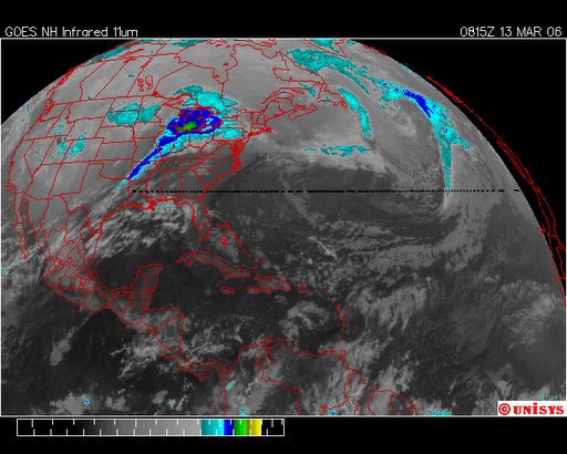
March 13, 2006. 0815z. GOES East Enhanced Infrared Satellite. The 'tornado' noted below is more easily visualized here. Also noted are the vortices in the North Atlantic, south of Greenland and Iceland.