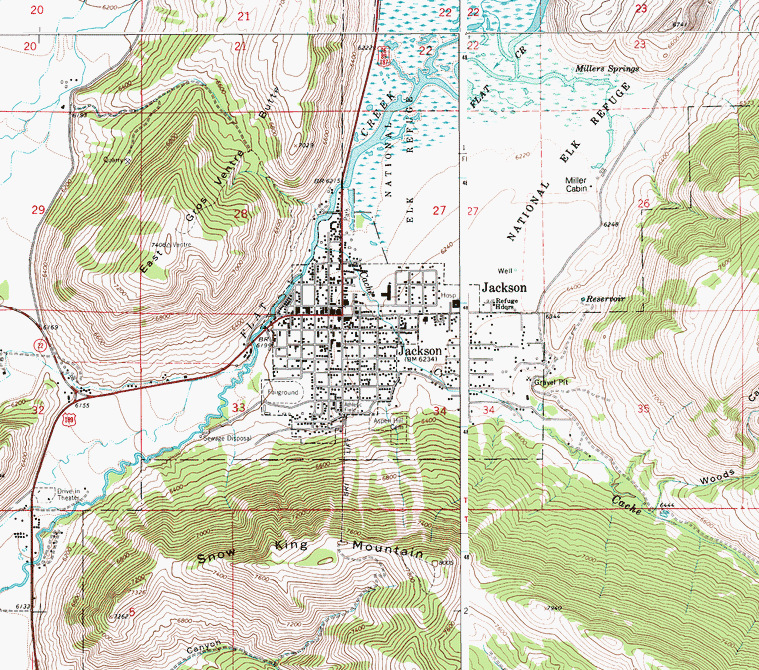
Map Center: N43.48124° W110.75789° Datum: NAD27 Zoom: 8m/pixel
Depending on the source, snow fall this year is somewhere around 12 inches. The maximum snowfall for this region on an annual basis was in 2008 with a total of 44 inches.
So far this year, 2014, is proving to be one of the warmer years in Jackson, Wyoming. Mix that fact with historic snowfalls and that dictates soggy soil.
It is safe to say this isn't a surface landslide that is why it is moving so slowly. The surface is only reacting to what is going on at depth. When angular motion is employed from depth, the surface is a wider swath than the ORIGINAL movement. So, what might be an inch a mile down interprets to a thousand inches at the surface.
Jackson is in a valley? Runoff as well. Gravity is having it's way.
There is primarily "loam" on steep inclines. Sand, silt and clay. (click here, go to page iv) Where is real rock when it is needed? Sand, silt and clay, add water and shake; what have you got? The lower the percent incline the slower the movement.
Loam is great for growing stuff, but, on wet hillsides? Loam is why it is green and beautiful there, but, soggy hillside stability is not it's forte.
Normally, vegetation holds the ground without question and establishes stability. But. When the water goes to depth it works to loosen soil below the level of vegetative roots. Instability results when the surface is compromised by movement at depth.
The hillsides surrounding Jackson need to be surveyed in the safest possible way to determine any fissures in the ground. I'd start with the steepest ones first. Please don't lose any geologists to opening fissures, okay? They are hard to come by.
 April 19, 2014
By Liz Fields
World News
A rapid and sudden shift (click here) in a slow-moving landslide in Jackson, Wyo., has residents rattled and experts looking for answers.
The down-falling movement Friday created a fracture several feet deep in
the ground beneath a house in the northwest Wyoming town in, causing it
to split in two.
Workers who had been striving to stabilize the 100-feet-high hillside
since early April, when town officials first noticed movement, were
forced to suspend their efforts. Several other homes and businesses were
also threatened by the abrupt land movement.
Posted: Friday, August 6, 2010 12:00 am
Updated: 3:45 pm, Mon Oct 14, 2013.
Roughly 40 small to moderate earthquakes have rumbled across Jackson Hole from their epicenter in the Gros Ventre Mountains since the first shook the region Wednesday evening.
Scientists with the U.S. Geological Survey recorded at least four earthquakes greater than magnitude 3.0, and as of Thursday afternoon, 588 people in 36 ZIP codes reported feeling the earthquakes at the Earthquake.usgs.gov “Did you feel it?” website....