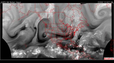
October 11, 2006. 2230z.
Water vapor satellite of North and West Hemisphere.
Kindly note the 'vortex STREET' manifested to ENABLE transfer of heat under the thickest of the carbon dioxide emitting continents. The Vortex Street starts at the Equator off the southwest North American continent and extends to the north east moving heat from the Equator to the Atlantic/Arctic Circle just south of the Greenland Ice and Iceland.
