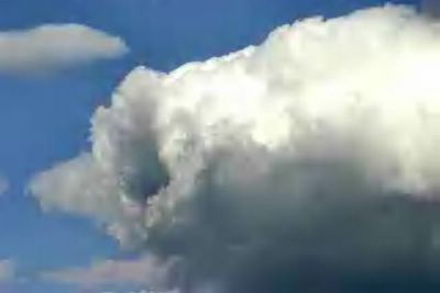
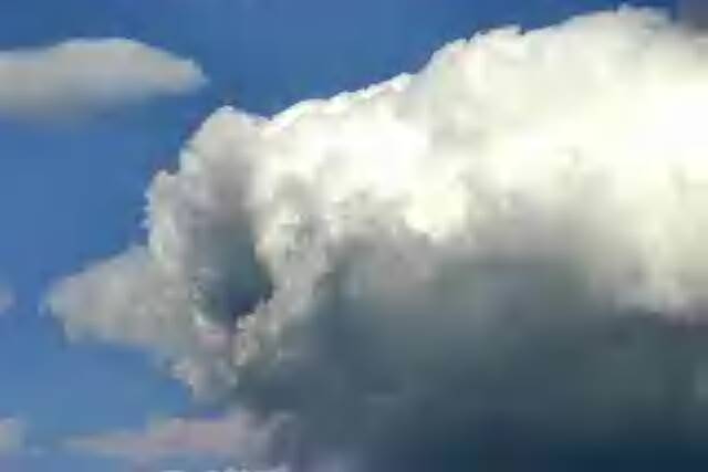
May 22, 2005. This is an actual photo of a cloud near Louisville, Kentucky. The photographer stated he thought it tempting to fly into this Tunnel Cloud. I personally advise against it. I understand the curiosity but there is needed a fairly sophisticated understanding of an anomally like this before the untrained weather pilot flies into it. I would think a venture like that would require some experience not short of that of hurricane pilots that fly into the 'eye' of a hurricane. Now, to 'guesstimate' the etiology of this cloud is to realize a short time ago I witnessed a 'Tropospheric Tornado' offshore East Coast USA. This anomally occurred in a growing velocity that was experienced on the near shore as a strong rain and wind event. We experienced the anomally in Wilmington, North Carolina as we watched the offshore system build on a satellite. This cloud system questionably has an internal rotation that maintains it's shape. It appears to be dense and cohesive. It is a fascinating FIND and I congratulate the photographer but reserve the right to state that caution needs to be exercised to any anomally noted in this highly reactive Climate Change skies. Fascinating Find.