Sunday, September 03, 2006

Click on for view in motion


September 3, 2006.
1826 gmt.

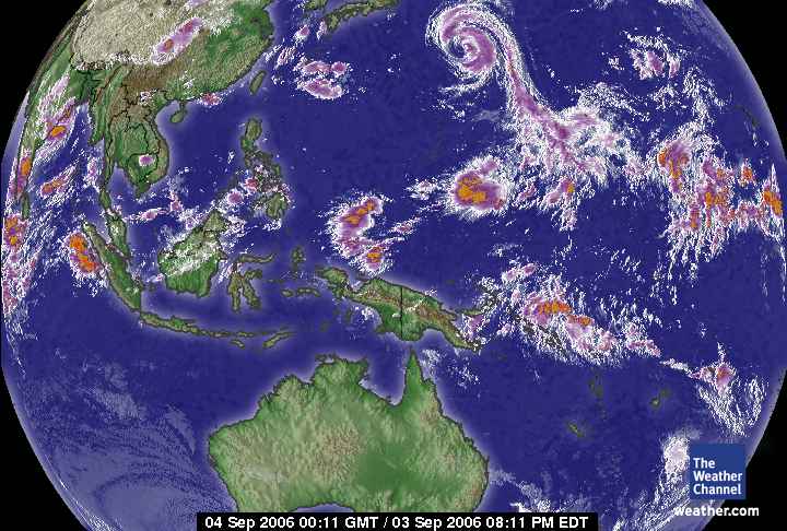
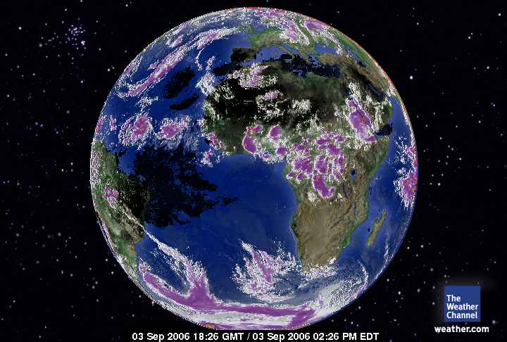
Africa - Europe Satellite.

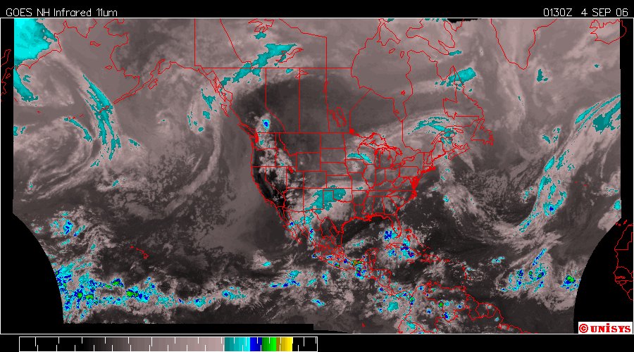
This is the best of all of them. Go, Africa. Gee whiz what a difference a quarter hemisphere makes. The carbon sinks are more than likely intact here. As a matter of fact a Nobel Peace Prize winner were growing forests. Right?

It's an interesting satellite in motion as well. The link is above. It doesn't keep animation going continuously as UNISYS does, so there is some manipulation that has to occur. Hm.

Posted by Picasa


September 4, 2006.
0026 gmt.

Western Hemisphere. Here again, the equatorial air mass is displaced north. That is very near the Tropic of Cancer rather than the Equator. The Tropic of Cancer is about 23 north latitude.

Posted by Picasa

Click on for 12 hour loop


September 4, 2006.
0130z.

Enhanced Infrared Satellite.

The jet stream is making an interesting appearance about the time the equatorial air is displaced as well. For sometime the jet stream has been over taken by the vortices, today it is the other way around. The vortices are still there but there is enough abatement of the cycle to allow a noted return of the jet.

In the past I have been optimistic that the abatement was a permanent reversal. What transpired over days was hemispheric oscillation that amounted to a greater maximum of turbulence. With the drought of the continent easily noted just below the Arctic Circle (over North America that is) it is no wonder that the weather patterns have seemed a bit kinder. There is little water to cause storms.

Noted below the jet stream in the central Atlantic is a lot of turbulence off Africa. We'll see how these manifest. I am somewhat doubtful there will be enough humidity to create a substantial storm this year. Reason to be concerned.

I believe it was NOAA that anticipated a very active season with more record setting circumstances. They have backed off that. There has been a lot of destruction globally by fires of carbon sinks/forests. That might have contributed to the hotter surface from earlier forecasts of last year. It's all exponential. A tree is destroyed by fire and the carbon enters the troposphere. That is compounded by the fact that tree is no longer available for carbon absorption. So, consequently the planet's heat index goes up considerably with loss of such vast amounts of forest.

I don't want to say NOAA's models are ineffective. They did well with the last storm and they will no doubt continue to be reliable. I think the change in direction of prediction of this season is due to an increasing warming pattern enhanced by human activity that destroys biotic mass and causes large deposits of carbon dioxide to the troposphere.

Everyone recognizes the concept of 'tipping point.' Well, it is my estimation the 'tipping point' for a worsening warming pattern is so obsure to most scientific computer models that they aren't as prepared to deal with it. Super computers do the best they can but this is a unique pattern for Earth and I keep stating that regardless of anyone who indicates otherwise. There has never been before this many people on Earth with consumer habits that are destructive to the biotic Earth. There is no super computer that can accurately predict this. They don't have that capacity. What NOAA can do is seek to provide the best information given new data.

It was never the prediction centers problem with Katrina. Every one was right on the mark. It was the government that was supposed to oversee the disaster that dropped the ball. Predicting storms/hurricanes/ typhoons is a much different science than seeking to understand the destiny of Earth under a Human Induced Global Warming pattern.

Posted by Picasa


September 4, 2006.

This is the current weather of the USA. The vortex center is notable over Iowa. There is also some turbulence offshore Southern Florida and over Cuba. The residual rain from John should give some rain to the southwest USA.

Posted by Picasa

Click on for 12 hour loop


September 4, 2006.
0130z.

Enhanced Infrared GOES West Satellite.

Hurricane John has transferred it's enegy to terra firma contributing to a huge heat movement into a vortex over the central continent of North America.

John weakens after lashing southern Baja (click on)

CABO SAN LUCAS, Mexico --John weakened to a tropical storm Saturday just hours after it hit land as a hurricane in the southern part of Mexico's Baja California peninsula, ripping the roofs from shacks, knocking out power and sending billboards flying.
Tourists in the resort of Cabo San Lucas scrambled to catch flights out after the airport reopened.
John was a Category 2 storm with 100 mph winds when it struck land near isolated hamlets northeast of Los Cabos on Friday night, but it had slipped to Category 1 status with winds near 85 mph by Saturday morning. By Saturday afternoon it weakened to a tropical storm and the winds dropped to 65 mph by evening.


Posted by Picasa

This is not a good thing.


September 4, 2006.
0030 gmt.

Pacific Global Satellite.

The equatorial air does not belong there, It is at a higher than 'normal' latitude. Normally the equatorial air is over Ecuador. Right? South America. Not Central America. I'm telling you this drought has this planet searching for water for it's equator. The heat transfer to Antartica across South America is plainly noted here. The peninsula is getting warm again, but, residual temperatures from winter still linger to keep ground temperatures below zero.

Posted by Picasa

Link to West Pacific storms


September 4, 2006.
0011 gmt.

The planet is peculiar. It isn't respecting the equator. The equator of the Pacific has taken an odd presence. It is split at the Indonesian islands with a distribution into Antarctica, but the globe of the northern hemisphere has considerable turbulence to the degree it has disrupted the equatorial air. This 'vortex' in the North Pacific is actually IOKE, the Cat/Typhoon 5 storm that started in the Western hemisphere and traveled half the distance of Earth to the Eastern hemisphere. IOKE will become a storm to contend with for Japan.

Oddly, with all that distance some scientists have speculated with greater heat under the carbon dioxide blanket would come higher velocity storms reaching into a 'Cat 6' designation. That hasn't happened and with this demonstration by IOKE which never accelerated over 140 knots per hour, I sincerely doubt that ever will.

I have never subscribed to that concept as I believe Earth's troposphere has a limit due to it's dependance on water vapor to regulate it's climate. As a result water as the dominant ion has a limit to the capacity to energize and expand in the size of a storm this turbulent. That is why there are multiple hurricanes/storms/typhoons rather than one huge storm that continues to grow while churning the oceans to the depths. That is fantasy and is not possible with the limits water physics on Earth.

Posted by Picasa