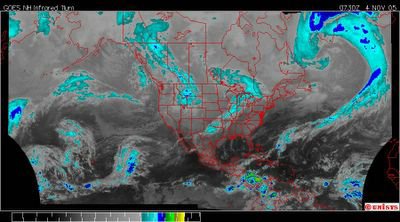
November 4, 2005. 0730z.
Enhanced Infrared Hemispheric Satellite of North Atlantic Vortex weather system.
It's a monster. And of course the heat would have to be right over the Greenland Icesheet. Where else would it be. A direct path from the equatorial 'hot spot' in the Caribbean to the Greenland Icesheet.
It must be Global Warming.
