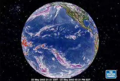
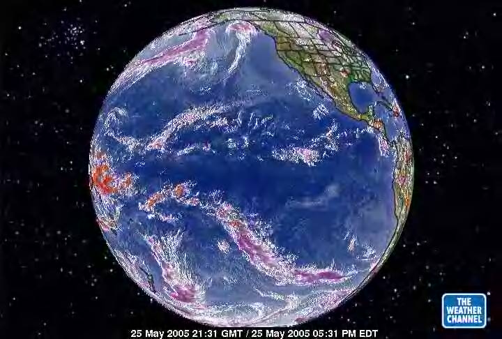
May 25, 2005. The equator has migrated north. Along with it is pulled the peripheral reach from the Antarctica Vortex toward the equator. With the equatorial aire masse moving north goes the opporunity for circulation of the heat at the zero latitude to MOVE rather than GATHER and be sucked into the Antarctica Vortex again. Hence, the increased heat accumulation on the equator (the right RED spot on this satellite image.) With an equatorial aire masse moving north the heat concentration under the carbon dioxide concentration of North America is trapped under a smaller surface area. What is happening is mid-latitude vortexes of the Northern Hemisphere. The 'heat hurricane' has dissipated but what has started in return is the multiple vortices. The most dramatic at the moment is offshore Russia. The USA has many as opposed to one large one. While we are here I want to explain the concept of 'dual' heat exposure to bring the understanding of higher temperatures in August and September and why there are usually the highest occurence of hurricanes then. The sun travels from the equator at the Spring Equinox moving to the MAXIMUM latitude north by June 21. THEN. It travels back down to the equator crossing it at the Fall Equinox. HENCE. The surface area between equator to mid-latitude gets a doubt exposure with the land masses holding on to the heat from the first trip of solar radiation north then to be added again to it on the return trip south. So, the second half of any summer season is always hotter with more storm activity in the way of hurricanes than the first half.