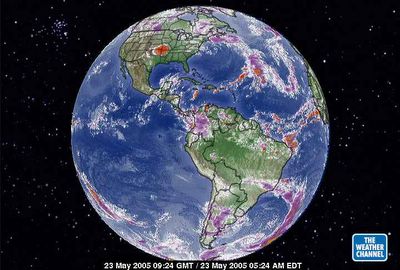
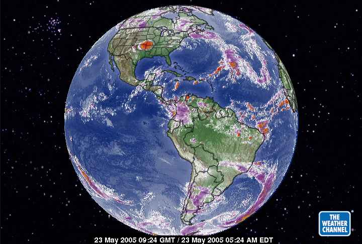
May 23, 2005. This is a distrubed equatorial aire masse over Central America BECAUSE we were seeing the first hurricane of the season move from the Pacific to the Gulf of Mexico. It is hard to believe a storm would do that but what have we seen to date? Lots of lightning with widening width to the lighting strikes. A lot of ionic energy in these storms. So, we already know the carbon dioxide density is higher over North America and there was soem relief in the Southern Hemisphere exception was the aire masse near the dumping ground of the USA carbon dioxide in the Atlantic. Hence, the heat budgets from the storm and that of the Atlantic were mingling and taking heat straight to the Arctic Circle. THE IDEA is to return the separation of the heat budgets to latitudes appropriate so the ice cubes of the world don't disappear, okay?