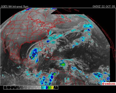
October 22, 2005. 0930 z. Enhanced Infrared of GOES East satellite. The area between the edge of the aire masse over terra firma (coined here as a vortex street - that applied loosely) and the storm system of 'Wilma' is closing. My observations are still valid. Noted the continued turbulence behind 'Wilma' and a convection center west of the Lesser Antilles and south of Puerto Rico.
