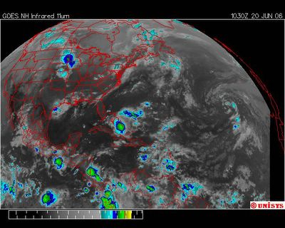
June 20, 2006.
1030z.
UNISYS Enhanced Infrared GOES East Satellite. Of concern and noted is the persistent turbulence southeast of Florida. If it manifests into a storm of vorticity it will probably go to sea. The manifestation of considerable number of questionable 'hot spots' over the past 12 hours may see at least one significant storm. I consider a 12 hour sustainable turbulence significant to watch.
There is also a substantial storm moving across the northern Midwest.
