March 2, 2006
Weather straight off the Arctic Circle.
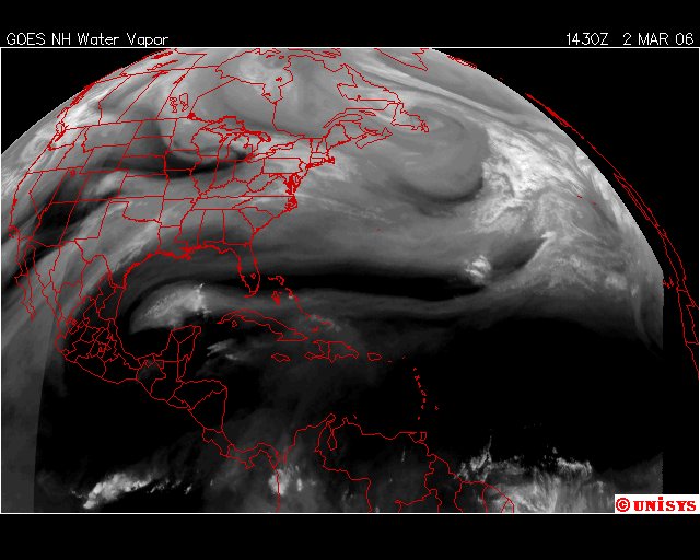
Snow, sleet in forecast for New York City area
NEW YORK -- A potentially messy mix of snow and sleet lay in store for the evening rush hour Thursday, but the storm was expected to pack less of a wallop than a record-setting snowfall last month. Light snow began falling around 8:30 a.m. and the National Weather Service predicted accumulations of between 4 to 8 inches for the New York City area.
The heaviest snowfall was expected to occur in the afternoon and during the evening rush hour before ending by late evening. Day temperatures were forecast in the low 30s and around 18 degrees in the evening. New York City Department of Sanitation spokeswoman Kathy Dawkins said 350 trucks were loaded up with salt to spread on the roads, while some other "nonessential vehicles" had plows to clear snow if necessary. Trash collection would not be affected by the storm, she said. Sleet was likely to mix with the snow in some places, the weather service said. A winter storm in mid-February dumped 26.9 inches of snow in New York City, closing all three of the region's major airports and bringing service on some rail lines to a standstill. That snowfall was the highest per-storm tally since records started being kept in 1869; the old record was 26.4 inches in December 1947. City sanitation employees worked in 12-hour shifts to deal with that storm. The sanitation department was not making any shift changes to prepare for Thursday's snow, but workers were ready nonetheless, Dawkins said. "We're geared up," she said.
