August 28, 2006.
0730z.
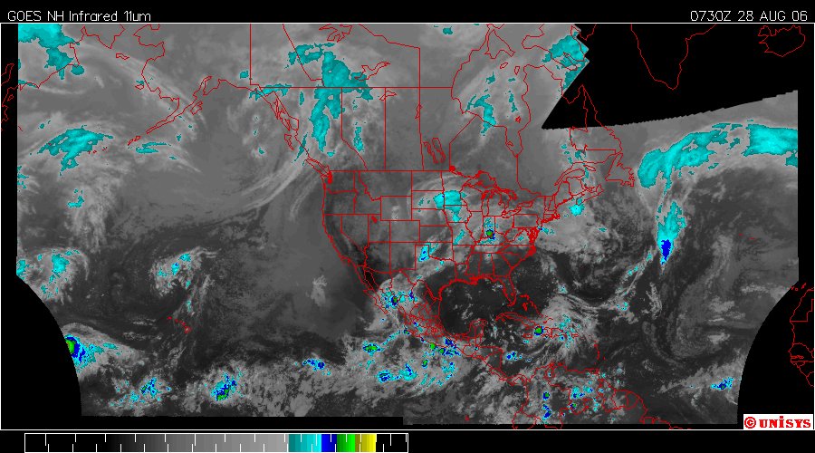
Enhanced Infrared Satellite by UNISYS. This is the northwestern hemisphere.
It is not easily discernable on this satellite but there is a very large vortex with a center over southern Alabama. It is having an impact on the weather in the entire region. As this system takes better defination it may be more evident in these satellites. If one cares to the 'Water Vapor' satellite is far more helpful, but, is also more confusing to the average person. I resist using the higher resolution satellite because it can be alienating and actually 'kinda' scary. The infrared will shape up IF the components of higher velocity storms take shape.
