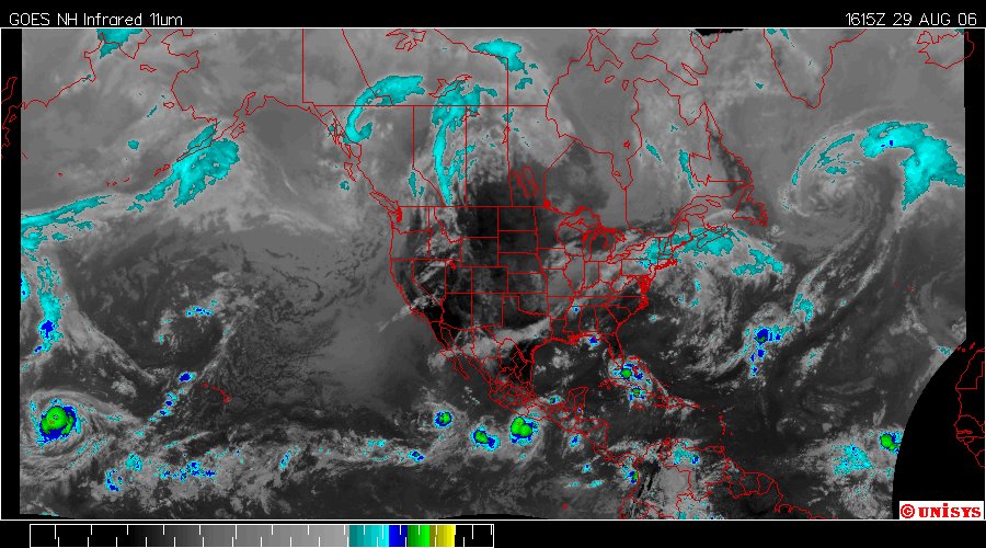
Augsut 29, 2006.
1615z
Enhanced Infrared Satellite.
Northwest Hemisphere of Earth. First kindly note tucked in the far left corner of this satellite is IOKE. It's still there, 140 knots per hour. Cat 5. But dig this, I stated it is highly irregular to have an East Pacific storm manifest so far west. IOKE is now entering the Western Pacific. It's the first storm I have ever witnessed that started as an East Pacific Storm that traversed the Pacific to become a West Pacific storm.
Maybe I should make a prediction about the landfall of Ernesto. Just enough to shake up the people along the Gulf Coast that will receive the torrential rains and possible tornadoes.
What do you think?
I'll think about it.
