The 3-D satellite might have to be 'clicked on' for the animation. It is very interesting. Well defined velocity of the system can be noted.
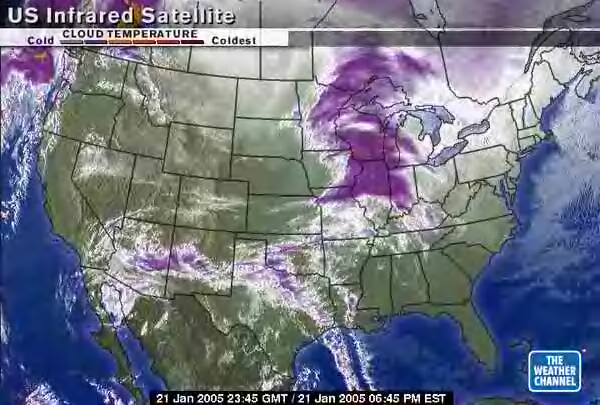
Infrared Satellite of very dangerous storm front. It is vortex flow that comes from the equator to the north polar cap. The speed of travel has nothing to do with a jet stream. Any jet stream that is still existing is far less dominant than the ionized vortex flows that exist today. There are no more trade winds except in an oscillation when the peripheral winds of the vortex are weaker for a few hours.

Let's take a look at UNISYS, Infrared:
The heat can be seen easily. The concentration is at the northern aspect of the vortex flow.
This is GOES East:
http://weather.unisys.com/satellite/sat_ir_enh_east_loop-12.html
This is GOES West:
http://weather.unisys.com/satellite/sat_ir_enh_west_loop-12.html