January 16, 2007
1330 z
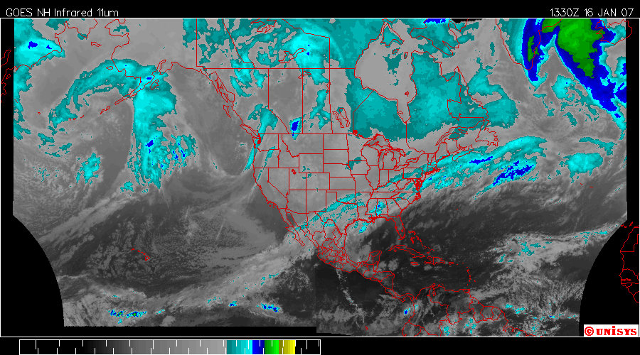
Enhanced Infrared Satellite from UNISYS.
The pattern has little to no change and will exponentially maintain this status for awhile as there is an inertia component to the vortices. Note in both satellite pictures that the equatorial 'heat transfer system' cross North America, a warmer, higher energy 'system area' under a thick blanket of carbon dioxide. What drives Human Induced Global Warming? Carbon dioxide. Where it is the thickest will be the areas most warm with higher energy for air movement. The nearest ice mass is Greenland and that is exactly where the hottest air will find resolve, hence a low pressure system and a vortex.
Where the severe weather is manifesting is along the area of cold air front. It's solidly arctic air. The inertia of the system off the equator will delay any change in the arctic front behind it.
